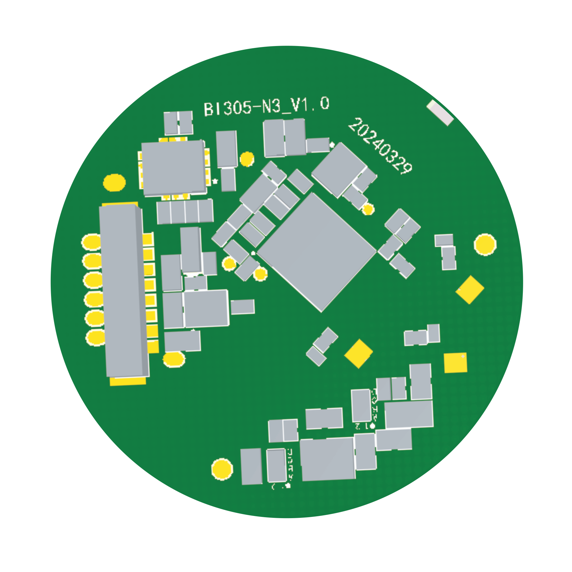
HY-TR100 Air-commanding remote control adopts UWB and IMU high-precision fusion positioning technology, which can sense the "absolute position" of the optical mark on the display screen. Combined with the touch and key operation on the remote control, users can enjoy the smooth experience of "pointing and operating".

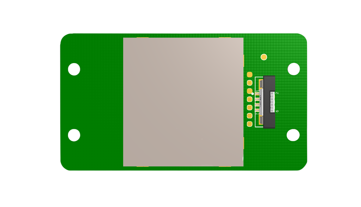
TV/ Commercial display